The hike to the source of the Asón River, in the Collados del Asón Natural Park (Soba), is about 7 km round trip, easy difficulty, and takes around 3 hours. It ends at the Cailagua waterfall, a 70-metre drop and the tallest in Cantabria.
Bareyo faces the sea, but a little over an hour inland, the Cantabria of green valleys and limestone mountains offers a completely different landscape. The municipality of Soba, in the eastern edge of the region, is home to one of the most photographed spots in Cantabria: the source of the Asón River, a waterfall that plunges 70 metres down a limestone wall surrounded by beech forest.
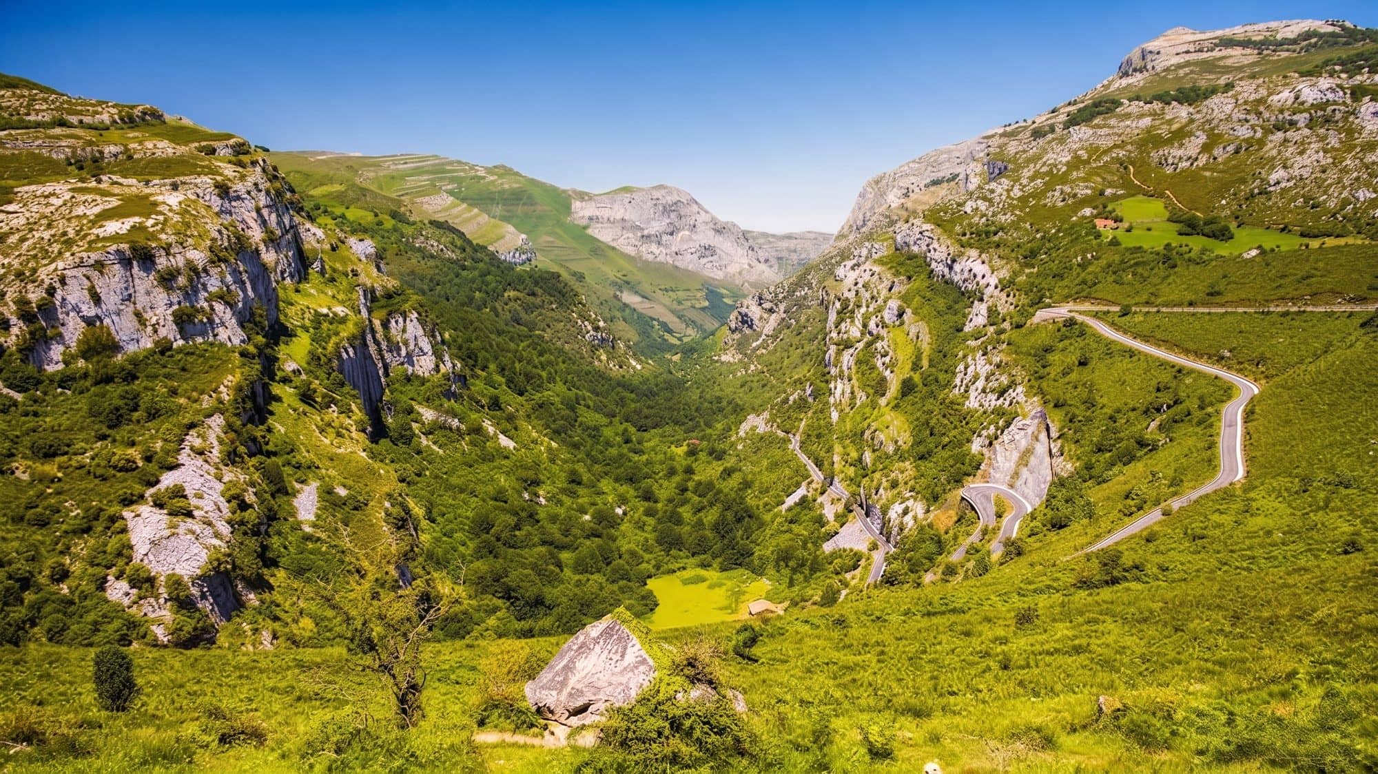
The trail to the waterfall is one of the most accessible in the Cantabrian mountains: barely any elevation gain for most of the way, suitable for families and requiring no previous hiking experience. That said, it's worth adjusting your expectations to the season, because the flow of the waterfall changes radically between spring and the rest of the year — more on that below, so there are no surprises.
How to get there and where to park in the Collados del Asón Natural Park
The usual starting point is the car park next to the village of Asón, in the municipality of Soba, reached via the CA-265 from Arredondo after about 11 kilometres of winding but well-maintained mountain road. Coming from Cantabria's eastern coast, head toward Ramales de la Victoria and then Arredondo to enter the valley. The car park fills up early on fine-weather weekends, so arriving first thing makes it easier to find a spot and enjoy the trail with fewer people around. Next to the car park there's a small Natural Park information centre, useful for checking trail conditions before setting off.
The trail: riverside forest and beech woods to the waterfall
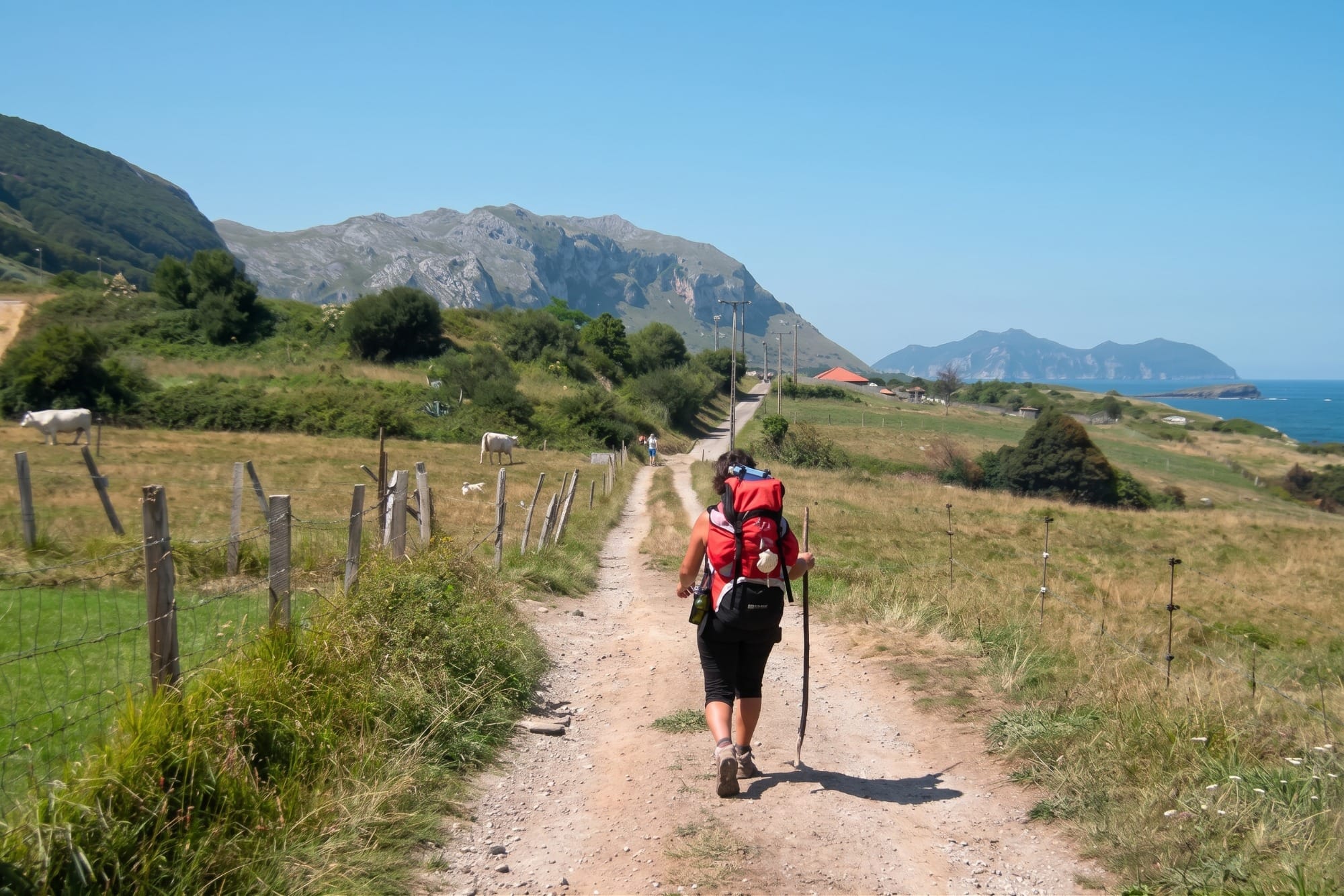
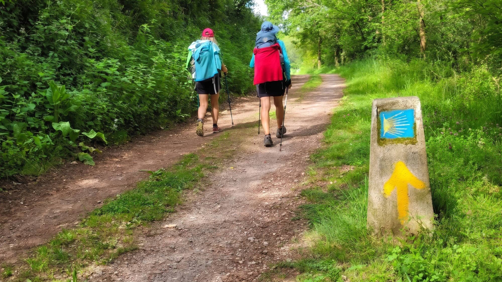
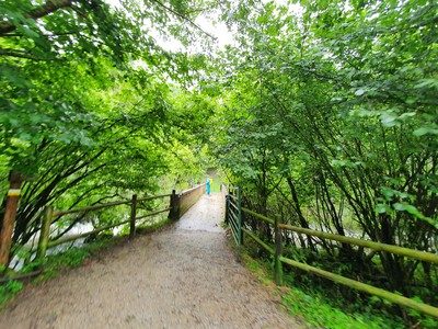
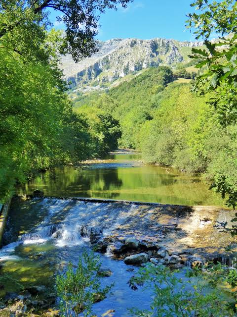
From the car park, the forest track runs alongside the Asón, past meadows and riverside woodland that soon gives way to dense beech forest, part of the Collados del Asón Natural Park. The first stretch, about 5 kilometres, is practically flat and very comfortable — ideal for chatting along the way without watching your step too closely. The terrain changes in the last kilometre, as the trail starts to climb and narrows between rocks: nothing difficult, but grippy footwear is worth having, since the ground can be damp and slippery, especially after rainy days.
The Cailagua waterfall, the source of the Asón River
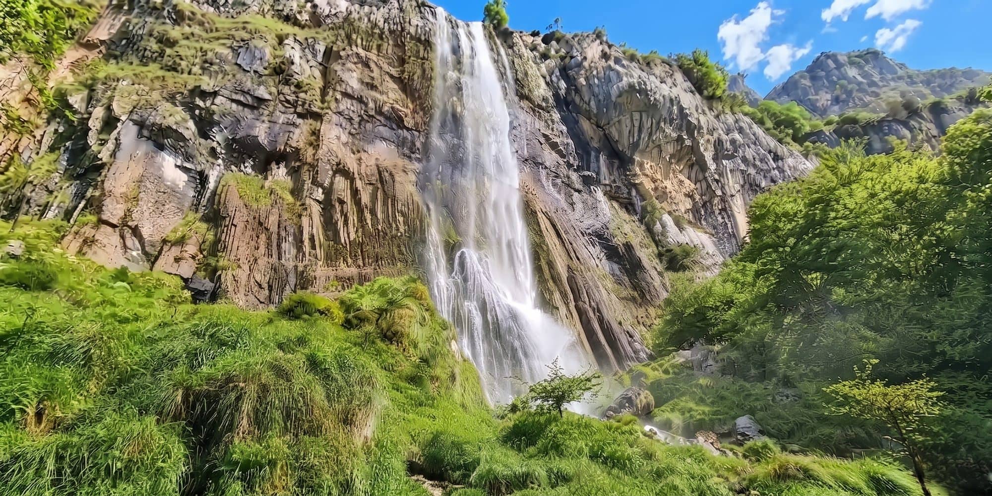
The trail ends at a natural limestone amphitheatre where the water falls 70 metres, in what's considered the tallest waterfall in Cantabria. Also known as the Cailagua waterfall, it marks the official source of the Asón River, which from here flows through much of eastern Cantabria before reaching the sea near Colindres. The sound of water hitting stone and the dampness in the air create a feeling quite different from any beach on the coast: here, the inland region takes centre stage, with its own version of a natural spectacle.
When to go: why the flow changes so much with the season
It's worth being honest about this: the waterfall puts on its most impressive show in spring, when snowmelt and the previous months' rain fill the riverbed and the water crashes down with real force. In autumn, October tends to be one of the driest months of the year in Cantabria, so the flow can be considerably more modest, especially if it hasn't rained in the preceding weeks. That doesn't take anything away from the hike: mild autumn days, without the summer heat or the crowds, are actually some of the best of the year for walking through the beech forest, even if the waterfall isn't at its most spectacular.
What you need to know
Distance: about 7 km round trip from the Asón car park. Elevation gain: light, around 200 metres in total. Duration: 2 to 3 hours with stops. Difficulty: easy, though the last stretch has some incline and loose stone. What to bring: hiking boots, layered warm clothing and, if possible, trekking poles for the final stretch. The Collados del Asón Natural Park has an information centre (phone 942 04 94 38) worth calling to check trail conditions if it's rained recently. There are no bars or fountains along the route, so bring water and something to eat.
Seventy metres of water falling over limestone, in a valley where the sea at Bareyo feels a world away.
Swapping the coast for the mountains for a morning is one of those plans that widens the map of a stay in Bareyo beyond the beaches. The Soba valley and the source of the Asón are just over an hour by car from the Bareyo Residences villas, so it's perfectly possible to spend the morning on the trail and be back in time for lunch with views of the Cantabrian Sea. If you'd rather take to the water by canoe than on foot, our guide to canoeing on the Asón River covers how to paddle the same river, further downstream.