The Soba valley, in the heart of the Asón, brings together beech forests, caves, the Asón waterfall and stone villages with the Velasco Tower. It's an easy day trip from Bareyo, by car and with hiking footwear, and it's especially rewarding in autumn and winter.
Soba is the third-largest municipality in Cantabria: 214 km² ranging from 187 metres above sea level to 1,605, with barely 1,057 inhabitants registered in 2025. That ratio of land to people explains almost everything you see on arrival: cattle on the slopes, dense forest on the peaks and a rare silence less than an hour from the coast.
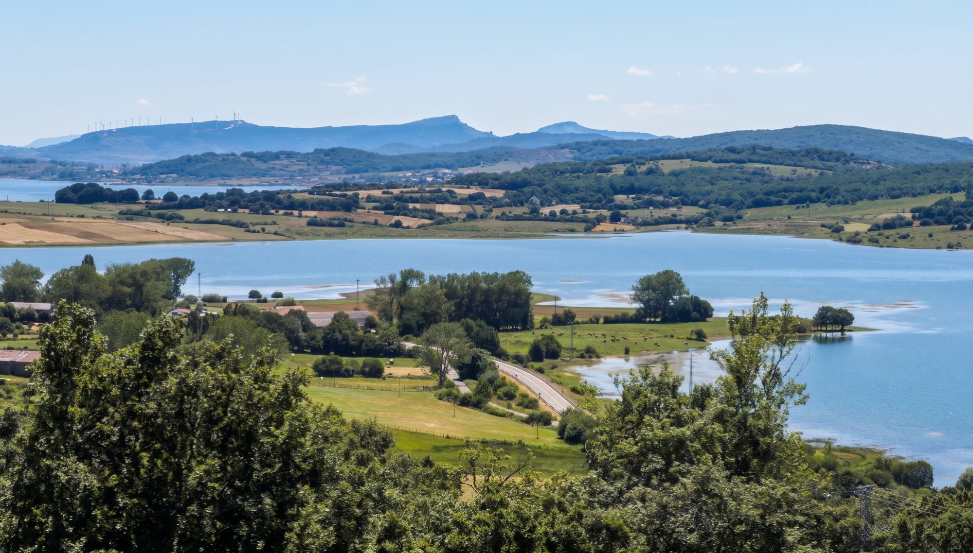
From Bareyo you take the motorway to Ramales de la Victoria and then head up the Asón valley. In about an hour by car, depending on traffic, the marshes and cliffs of Trasmiera give way to a damp mountain landscape. In this guide we go through what's worth seeing in the Soba valley and how to plan your visit.
Soba Valley: what to see in the Collados del Asón Natural Park
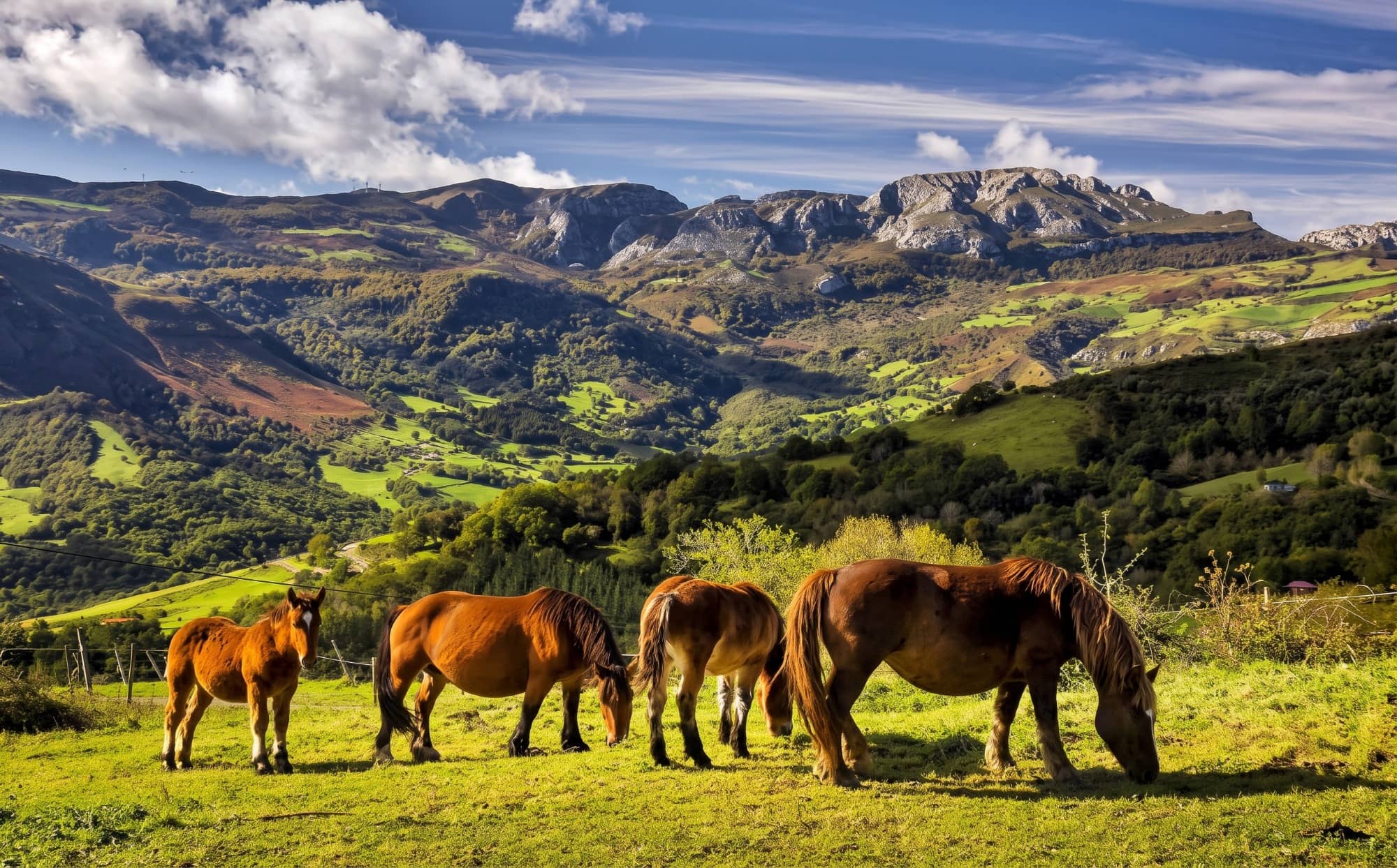
The valley's big draw is the Collados del Asón Natural Park, declared on 18 February 1999 by Cantabria Law 1/1999. It covers 4,740 hectares, almost all within the municipality of Soba, and its only settlement is the hamlet of Asón. The main peaks are Picón del Fraile (1,632 m), Alto de Imunia (1,518 m), Colina (1,460 m) and Mortillano (1,415 m).
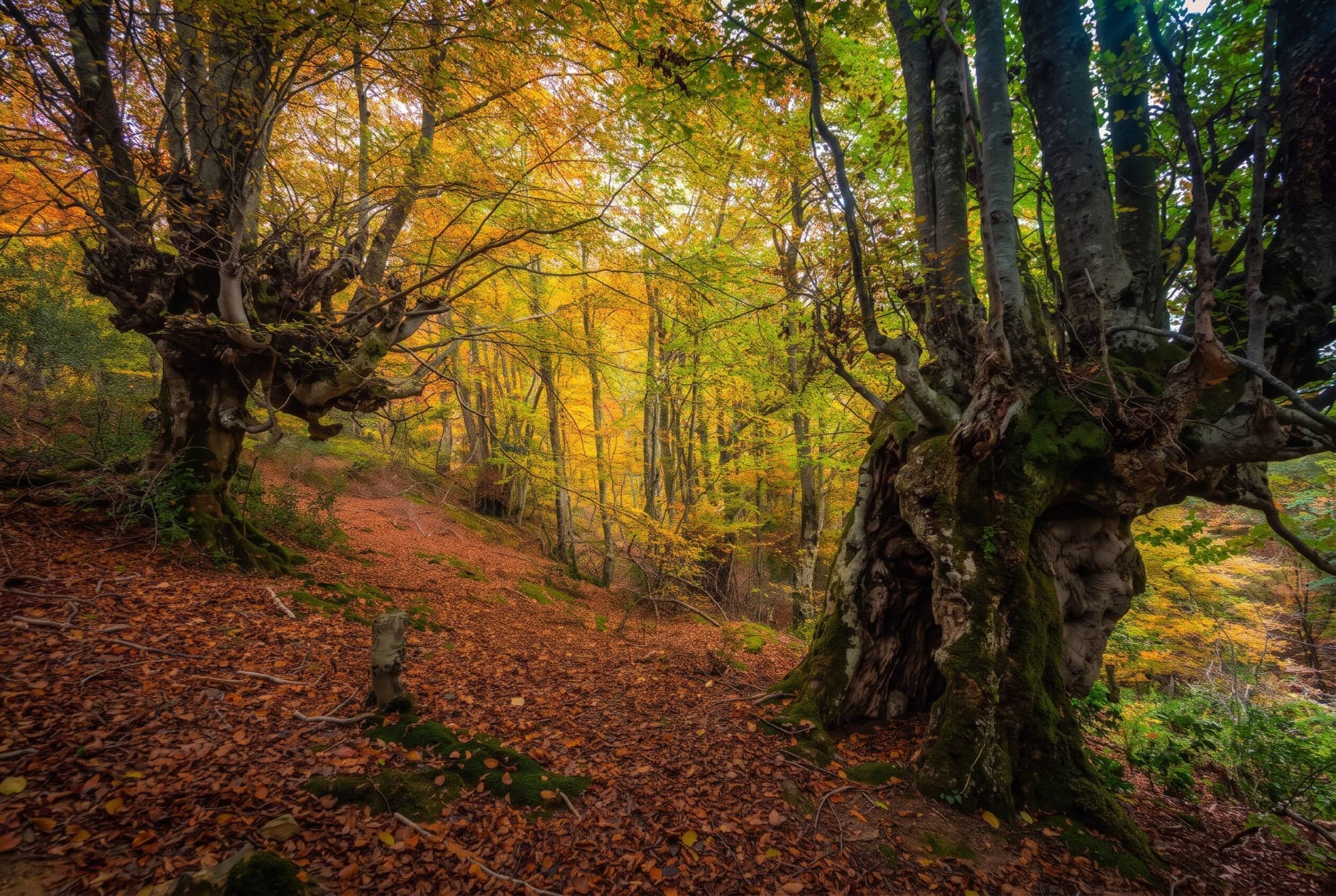
Beech forests dominate, with Cantabrian holm oaks, birches and Pyrenean oaks on other slopes, and ash, alder and willow on the valley floor. Birds include the griffon vulture, the Egyptian vulture and the goshawk, and the rivers hold brown trout and Atlantic salmon. If you come to take photos in November, you'll enjoy the bare beech trees and the moss, with low light and almost nobody on the trails.
Caves, potholes and the Asón waterfall
Beneath the head of the Asón lies one of the largest cave systems in Cantabria: more than 150 kilometres of galleries and about 600 metres deep, according to the park's description. It isn't a visit for the general public, as it requires equipment and experience, but it explains why the water in the area appears and disappears so easily.
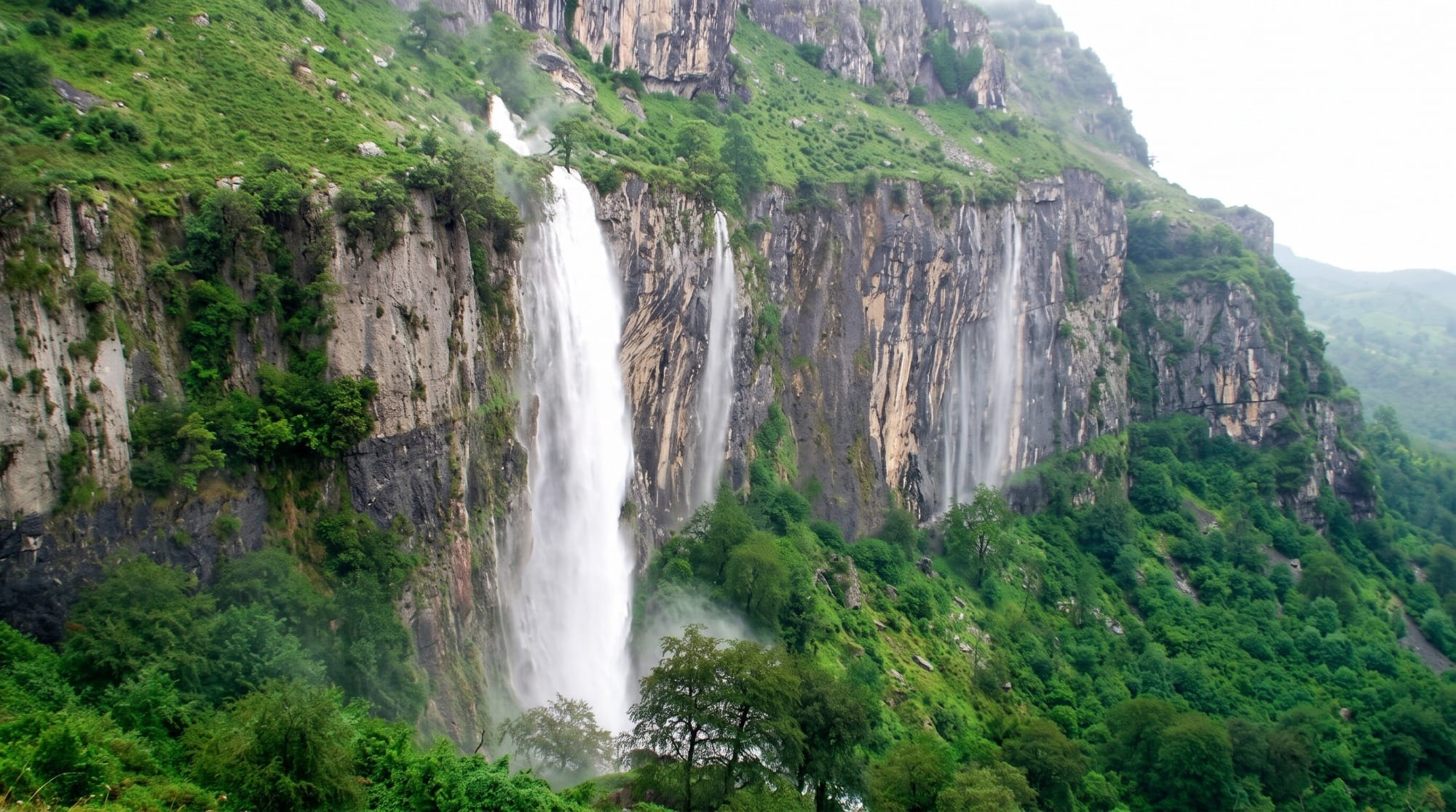
The waterfall that closes the Bustalveinte valley, the Asón waterfall, was traditionally considered the river's source, although its flow actually comes from the karst depression of Brenavinto. It carries water mainly after rain, so winter is a good time to see it in full flow. The Gándara river, its main tributary, ended up capturing the Asón's headwaters basin by erosion, which is why the two rivers are now spoken of as a single system.
Villages and heritage: Veguilla, Rozas and La Gándara
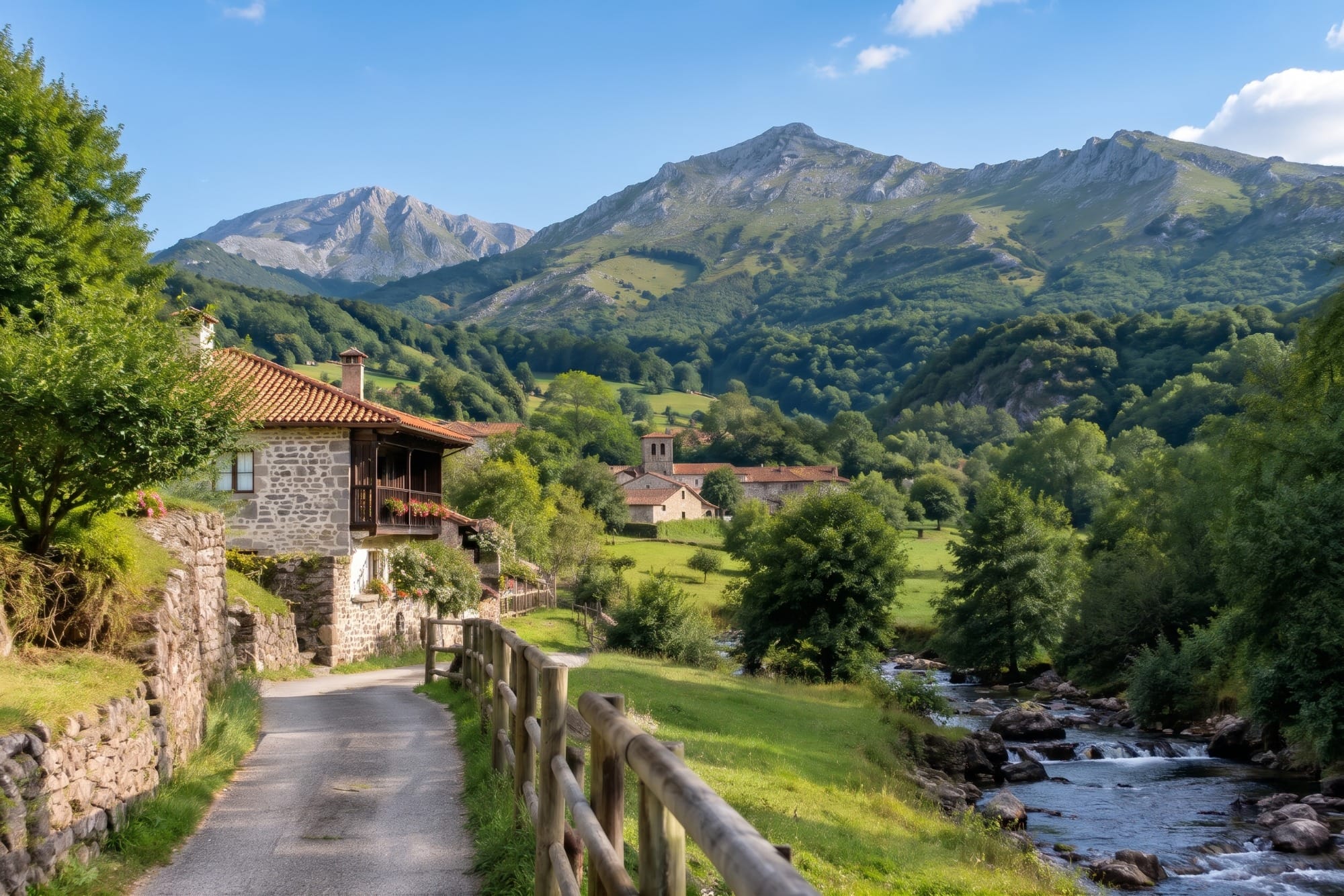
The municipal capital is Veguilla, at 330 metres above sea level, home to the Ethnographic Museum. To understand how people lived from livestock farming in the valley, it's the most useful stop. In Rozas you'll find the church of San Miguel Arcángel, and the Velasco Tower is listed as a Site of Cultural Interest (Bien de Interés Cultural).
La Gándara is the most convenient starting point for visitors: the cultural centre and the park's interpretation centre are there, and several trails begin from it. The GR 74 is among the waymarked routes. If you'd like to combine Soba with another village in the area, our guide to what to see in Ramales de la Victoria covers the Covalanas and Cullalvera caves, just a few minutes away.
When to go and what weather to expect
The annual average is around 12.6 °C and about 1,008 mm of rain falls each year, so damp and fog are part of the landscape. That means green almost all year round and muddy paths in winter. Among the valley's festivals, Día de Soba is held in La Gándara on the third Saturday of August, and San Isidro on 15 May.
Many travellers prefer to come between autumn and spring: less heat, colourful beech forests and waterfalls with water. Before setting out, check the forecast and warnings on the Turismo de Cantabria website, because the weather changes quickly on the mountain passes.
What you need to know
Distance: around an hour by car from Bareyo, via the motorway to Ramales de la Victoria. Where to start: La Gándara, with an interpretation centre and cultural centre. Footwear: waterproof hiking boots, as the trails get muddy easily. Transport: there is a bus to Santander and to Ramales, but to get around the valley you really need a car. Services: few and spread out, so bring water and food. Light: in winter it gets dark early, so it's best to head back in daylight.
«In Soba the landscape rules: 214 square kilometres and just over a thousand inhabitants.»
Soba is one of those destinations to enjoy without hurry, with a short walk, a little museum time and lunch on the way back in Ramales or on the coast. For anyone staying in Bareyo, it makes a full day of contrast: from the estuary and cliffs to the beech forests and peaks of the Asón. If you like walking in this area, we also recommend our guide to group hiking in the Collados del Asón, with three more routes to extend your plan.