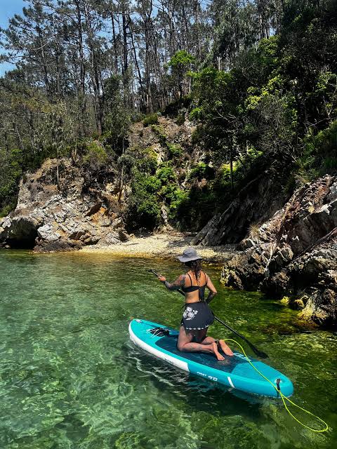
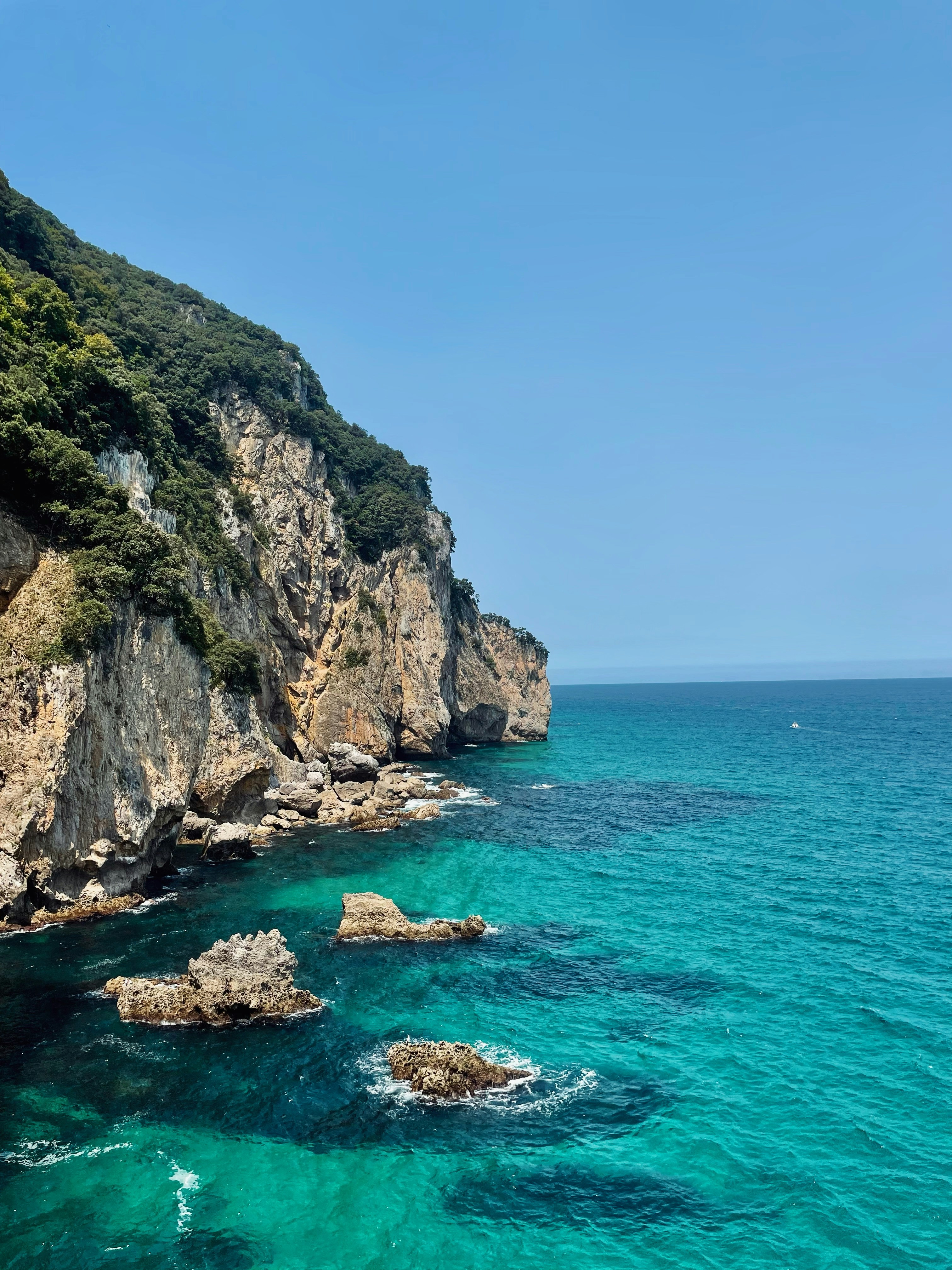
The Costa Quebrada Geopark stretches along the coast between Santander and Suances, about 45 minutes from Bareyo. Its highlights are the Liencres dunes, the cliffs at La Arnía beach, and Covachos beach, only reachable on foot at low tide. Admission is free, and there are free guided routes from the Soto de la Marina office.
Less than an hour from Bareyo, the coastline changes character. Where the Trasmiera beaches are long stretches of fine sand, here the shore breaks into cliffs of horizontal rock layers, hidden coves and a dune that advances over a century-old pine forest. This is the Costa Quebrada Geopark, the stretch of coast between Santander and Suances that UNESCO recognised as a Global Geopark in 2024.
It's not a beach for lying under a parasol, but a landscape for walking, looking down and understanding why this coast has such distinctive geology. It's worth planning carefully: some spots, like Covachos beach, can only be visited at low tide, so it's worth checking the tide tables before leaving Bareyo.
What is the Costa Quebrada Geopark
UNESCO's Global Geoparks Council added Costa Quebrada to its network in September 2024, with the official recognition formalised in April 2025. The geopark covers 345 square kilometres spread across eight municipalities (Santander, Santa Cruz de Bezana, Piélagos, Miengo, Suances, Santillana del Mar, Polanco and Camargo), of which 270 are on land and the rest is coastal waters.
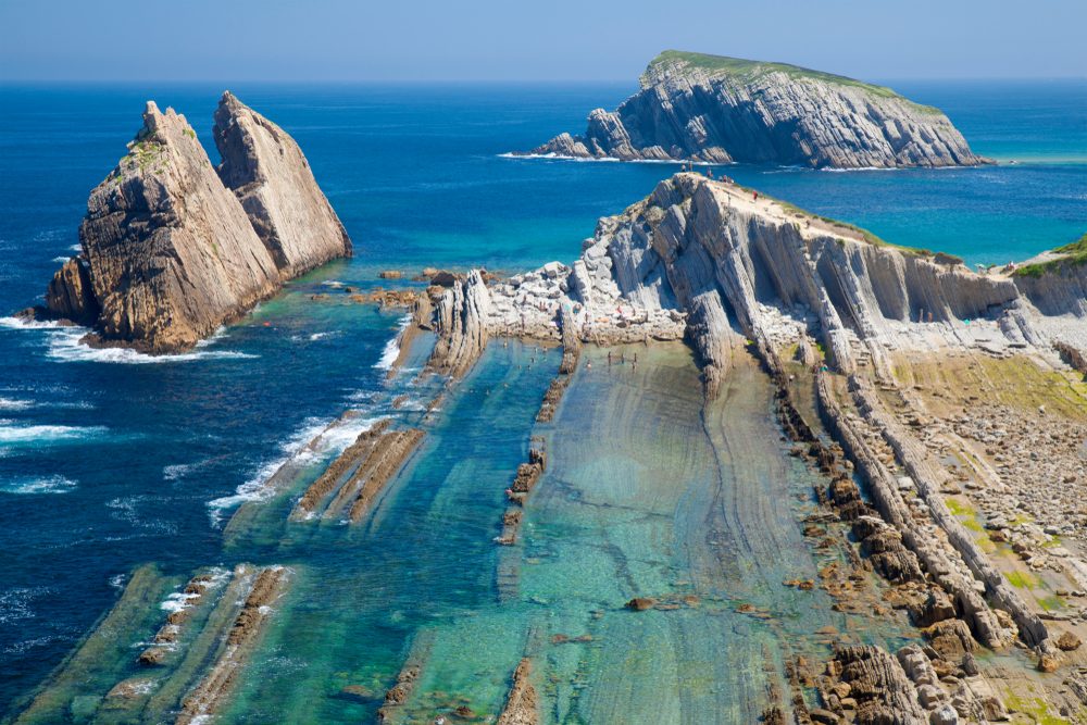
The reason for the recognition lies in the rock: the cliffs in this area show layers of flysch, marine sediments folded over millions of years, forming arches, platforms and blowholes visible to the naked eye on any walk along the coast. You can check the guided visit calendar on the geopark's official website before you go.
How to get there from Bareyo
From Bareyo, the most direct route takes the A-8 and the S-10 towards Santander, continuing on the S-20 towards Soto de la Marina and Liencres. The drive takes about 45 minutes, crossing Santander via its northern bypass. The geopark's main office is on Avenida Marqués de Valdecilla in Soto de la Marina, open from 9:30am to 5pm, and makes a good first stop to pick up maps or ask about trail conditions.
The Liencres dunes
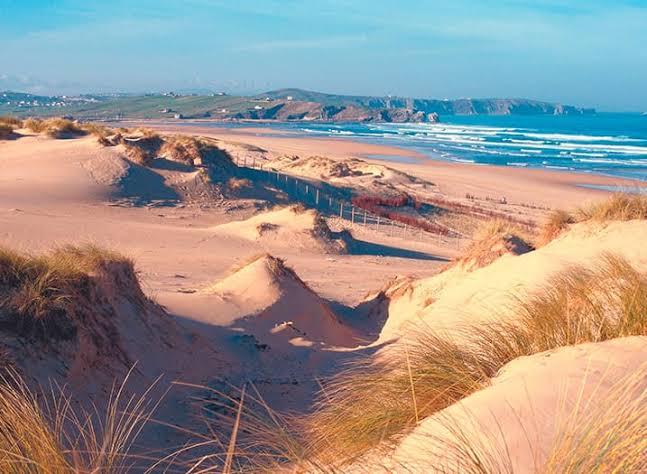
The Liencres Dunes Natural Park, at the mouth of the River Pas, is the geopark's most recognisable landscape: a band of sand over two kilometres long that a reforested pine wood has been fixing in place since the mid-20th century. A wooden walkway crosses the pine forest to Canallave beach, and it's worth walking early, before the tide comes in and before the bulk of the vans that park by the access road in summer arrive.
The mix of moving dunes, pine forest and marsh makes this part of the geopark one of the most biodiverse stretches of the Cantabrian coast, with migratory bird species stopping here on their way to Africa. If you enjoy exploring the coast with the water as the main attraction, also take a look at our guide to where to snorkel in Cantabria, which includes several coves in this same area.
San Juan de la Canal and the La Arnía cliffs
A little further west, between Liencres and Cuchía, the stretch of coast running from San Juan de la Canal to La Arnía beach is listed as one of the world-reference Geosites in UNESCO's catalogue. Here the flysch is on better display than anywhere else: stepped rock platforms that the low tide leaves completely exposed, with natural rock pools in between.
La Arnía is also one of the most photographed spots in Cantabria for its needle-shaped rock formations rising out of the water. It's best not to get too close to the cliff edge, especially in wind or on wet ground.

Covachos beach: the island that appears at low tide
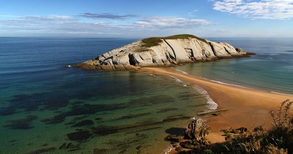
Near Soto de la Marina, Covachos beach hides its best trick: facing the shore is an islet with a small hermitage that can only be reached on foot when the tide is low enough. The rest of the time, the crossing is covered by water.
It's a plan that calls for checking the tide tables before leaving home and timing the return with some margin, because the water rises faster than it looks. In exchange, the reward is one of the most striking sights in the whole geopark.
What you need to know
Admission to the geopark is free and requires no advance booking. The Soto de la Marina office organises guided walking tours through San Juan de la Canal and Covachos, though it's worth confirming dates and capacity on the geopark's official website, as they don't run every day. Sturdy, grippy footwear matters more than a towel here — much of the landscape is walked on rock. The car park by the Liencres dunes fills up early on the hottest days, so arriving first thing makes it easier to find a spot.
Here the tide isn't just another weather statistic: it decides what you'll get to see and what stays underwater.
Coming back to Bareyo after a day at Costa Quebrada is coming back to a much quieter stretch of coast, without the flysch platforms but with the same Cantabrian Sea within reach. The villas at Bareyo Residences are designed for that contrast: mornings of cliffs and geology, afternoons back to a private garden facing the sea.